Description:
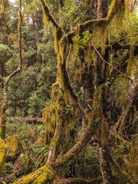
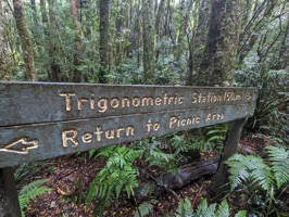
A National Parks 3km walk to My Hyland Trig, through Gondwana Rainforest.
Resources:
GPX File: Location of the features mentioned above
Check Mt Hyland Nature Reserve Closure
Hike Recommendations:
Gear: nothing special needed.
Season: I'd prefer to do this in the cooler weather.
This map was created using GPS Visualizer's do-it-yourself geographic utilities.
Please wait while the map data loads...
Progress Notes:
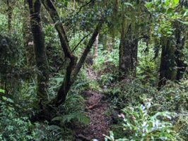
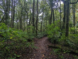
25/Apr/2023: Wanted another walk today, since it’s the last day I’ll have off work for a while. I’ve been curious to see what this area is like these days so decided to come down and take a walk around. The walk itself is beautiful. It was nice to have a track to walk on rather than just bush-bashing like the last few hikes I’ve been on. The walk is quite short and easy. I think this would be a good one for kids. The cool, brisk air was such a nice refreshing change from the humidity and heat of the Northern Rivers this past summer. It was 12 degrees here, and 24 in Grafton.
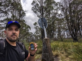
I found the trig easily, and signed my name in the nearby guestbook. It’s in good order, although the mast has slight curvature from a fire. The nameplate is still intact.
I had a cache with me so decided to hide on up here. I don’t usually worry if there’s already a trig in place to entice GCA players up here, but if you’re venturing up here you’ll get two smilies for the price of one!
I made my way back to the car, completing the loop and bumping into a family of Lyrebirds on the way. A great day out.
Current Status:
SUCCESS
Photos:
If you've done this trek, or would like to comment on it, please do so below.
You may attach a photo to your comment if you'd like too.


